Before using any TAK software, please make yourself familiar with the products and the potential privacy implications. More info here.
Setting up ATAK for ASN-TAK
- Download the following files and save them to your phone:
- ASN-TAK: Configuration Package (Updated 30.03.2023)
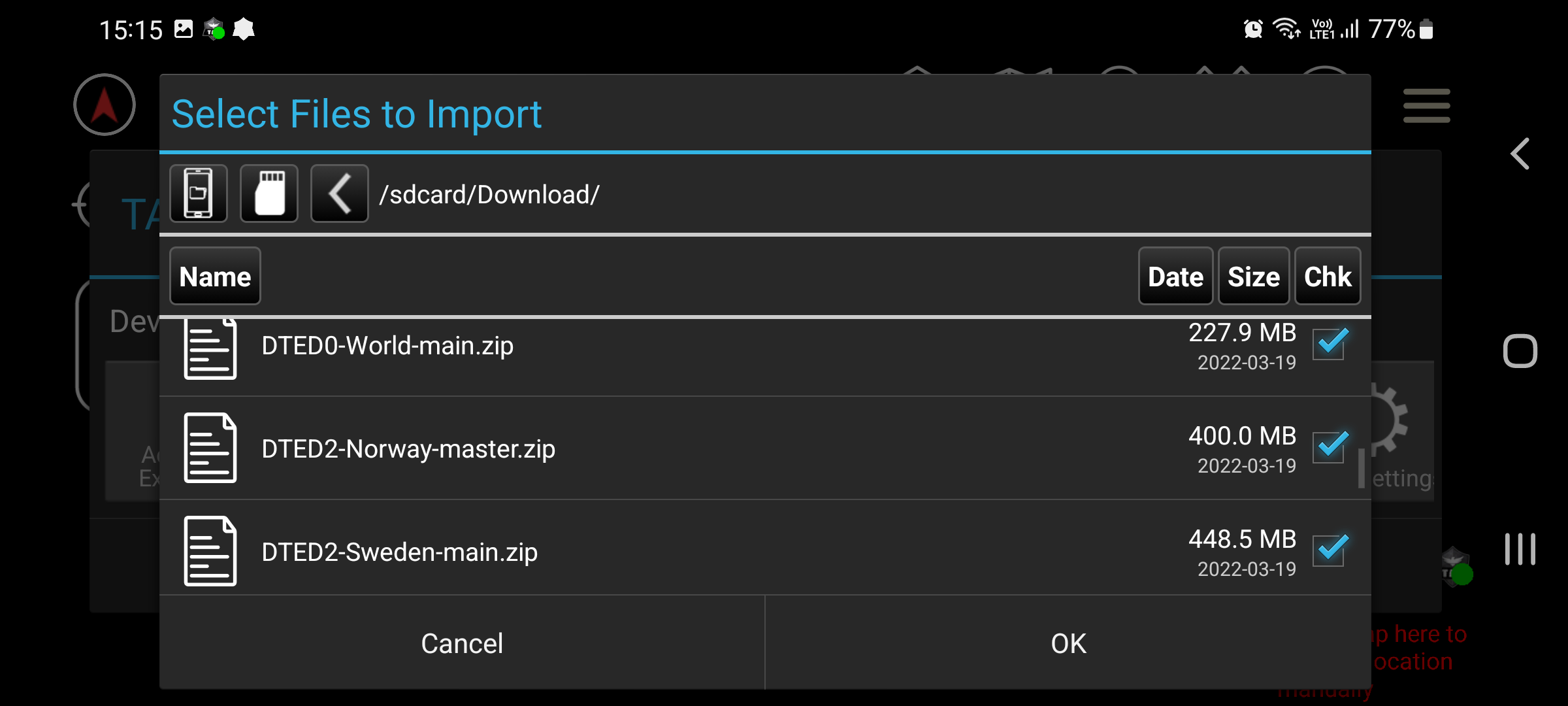
- Download any optional files you want:
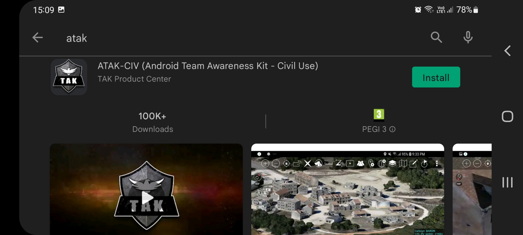
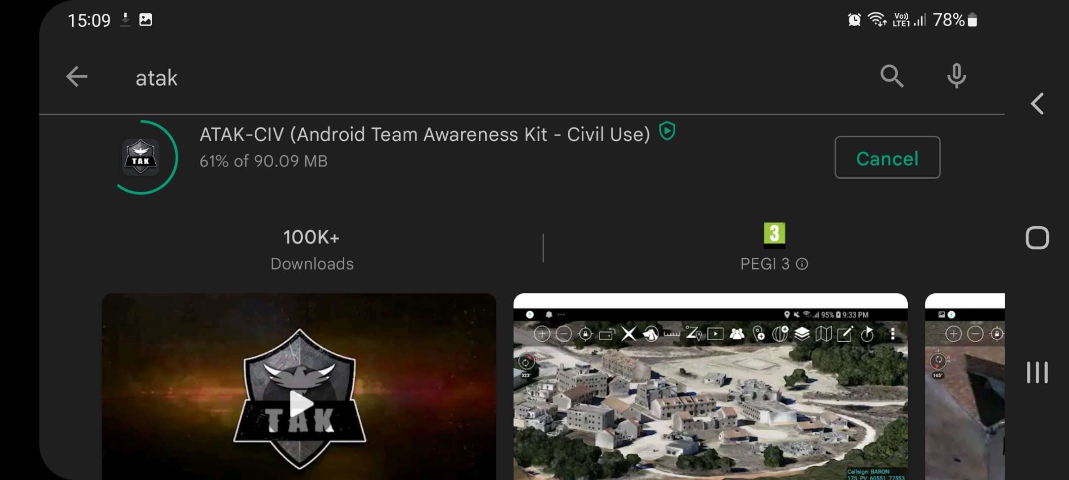
- To install the app, follow this link: Google Play Store: ATAK-Civ, or if you want plugins like night vision compatibility or UAS tool register an account on tak.gov.
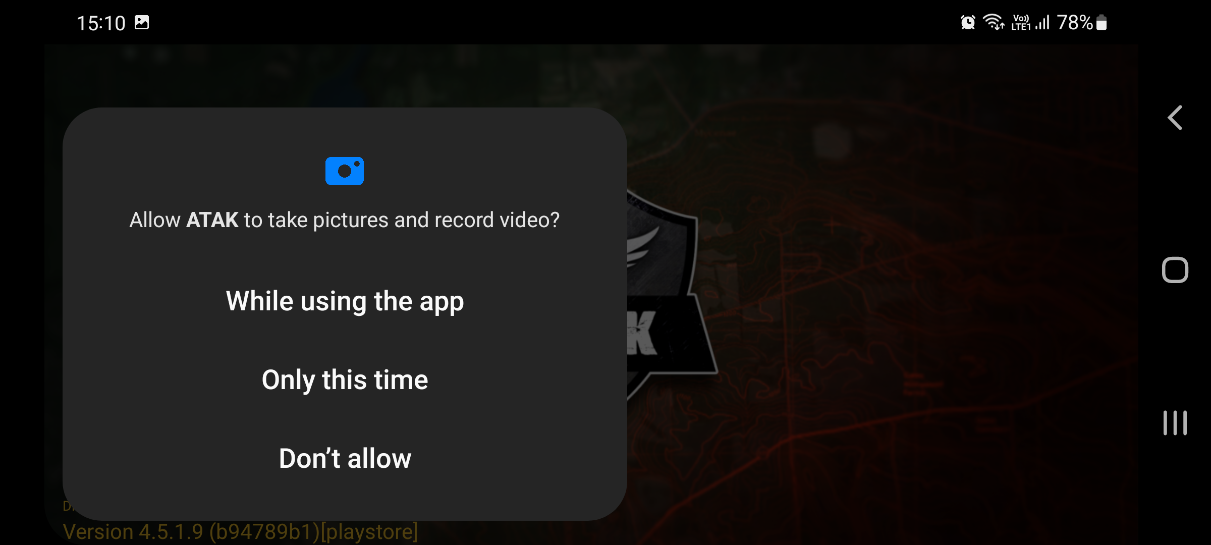
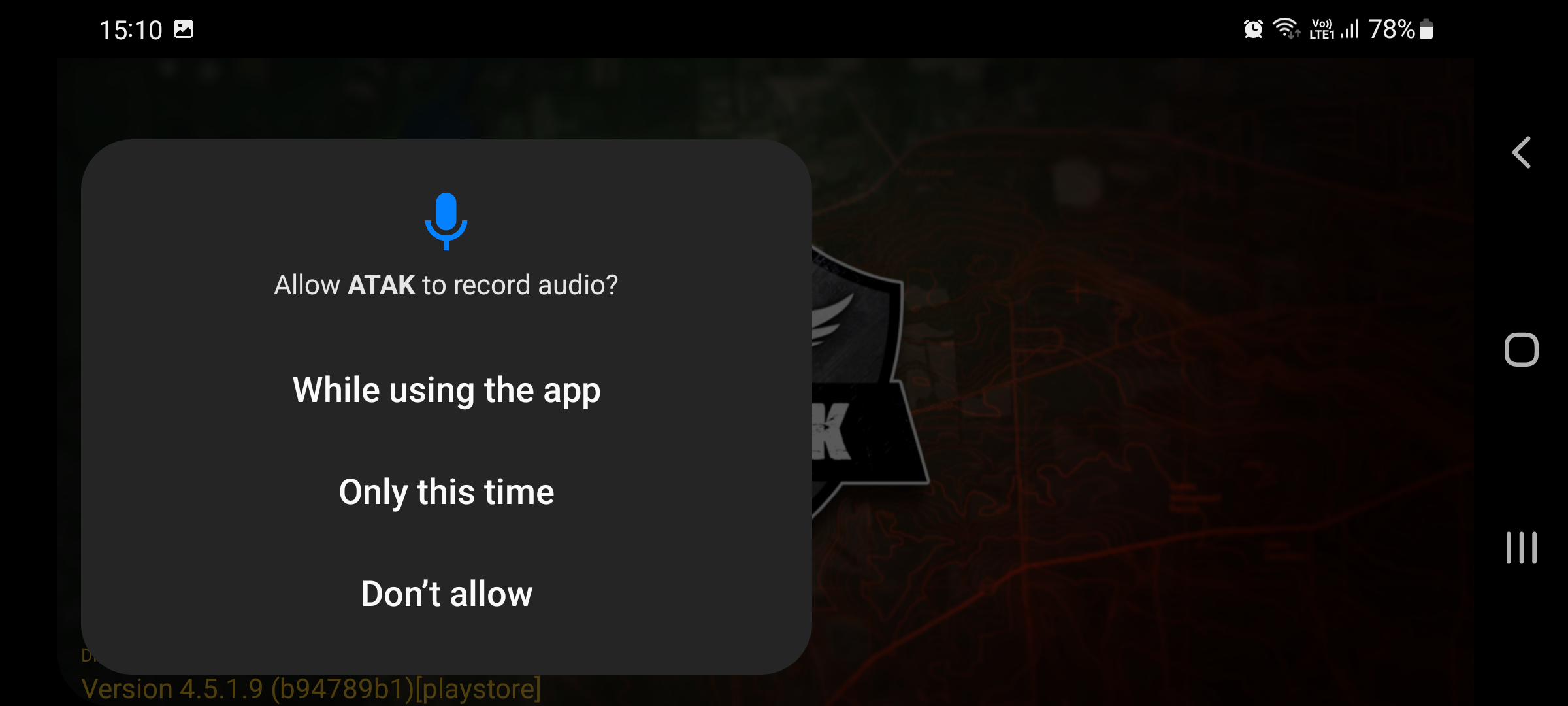
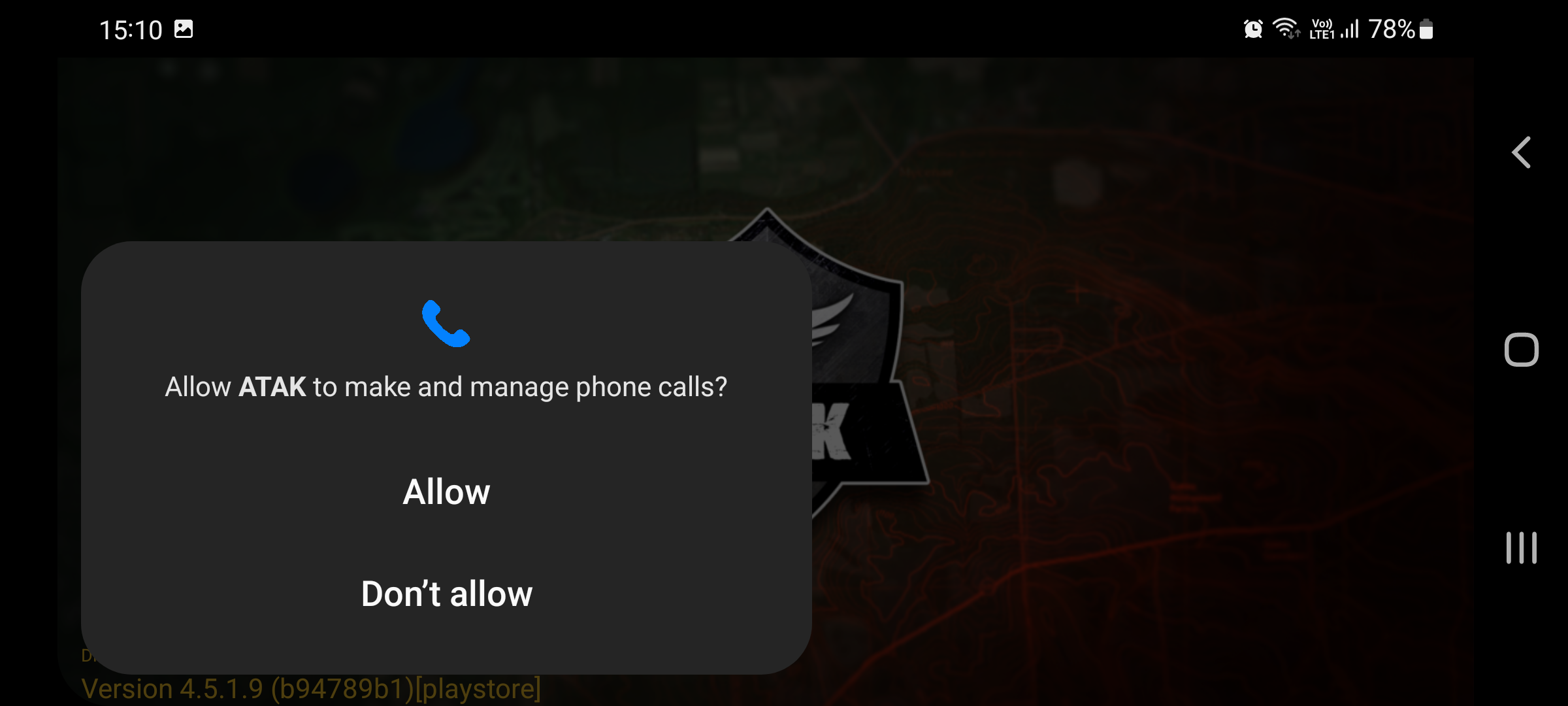
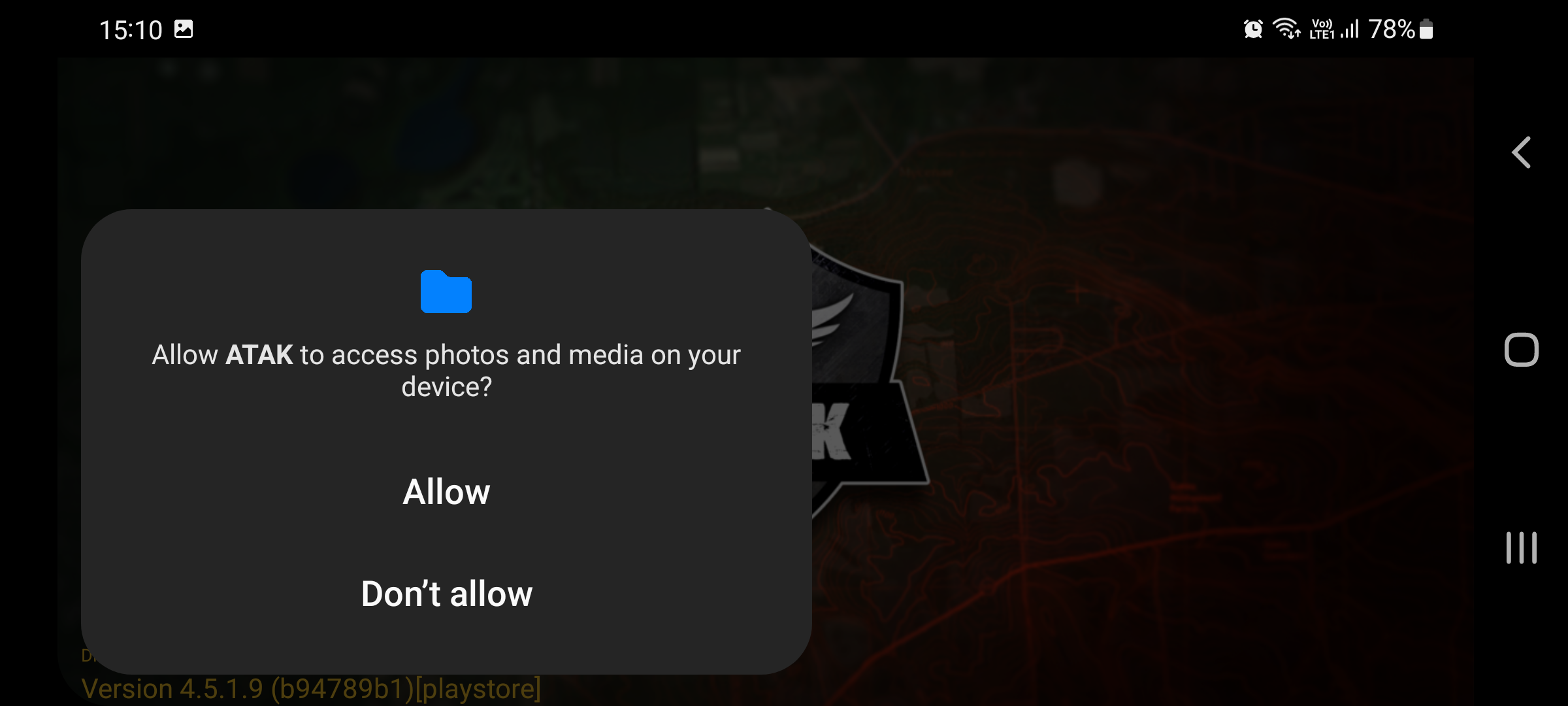
- Open the app, read the EULA, and approve the barrage of Android OS permission requests ATAK requires to operate.


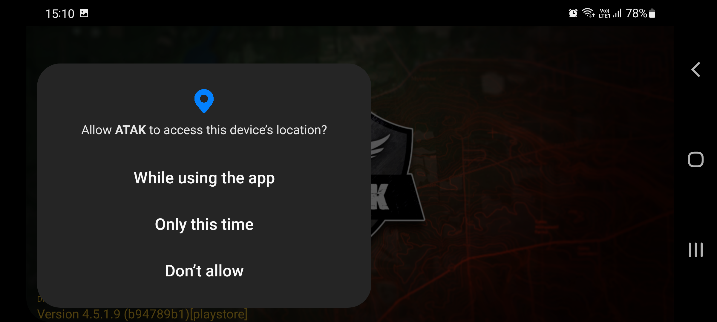
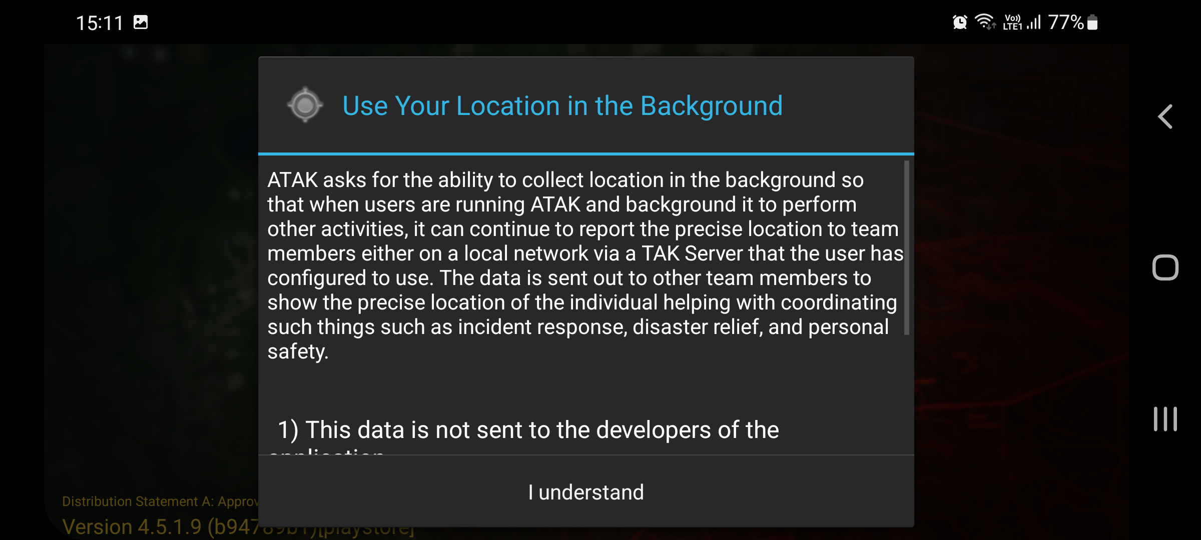
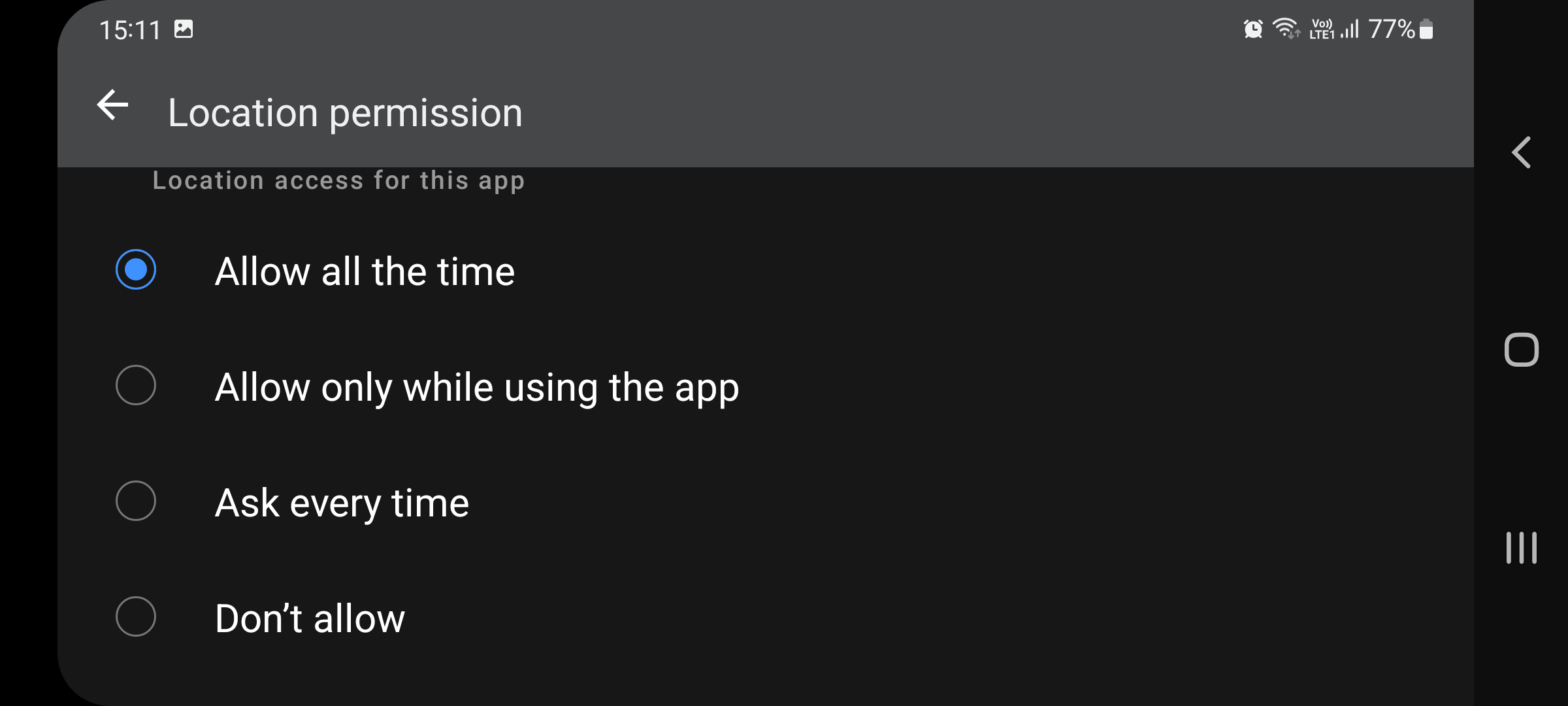
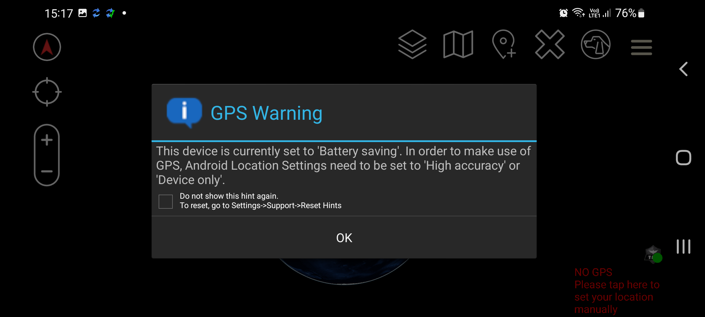
- Once you get to this point, you have to make sure to allow ATAK to use your GPS even when running in the background.

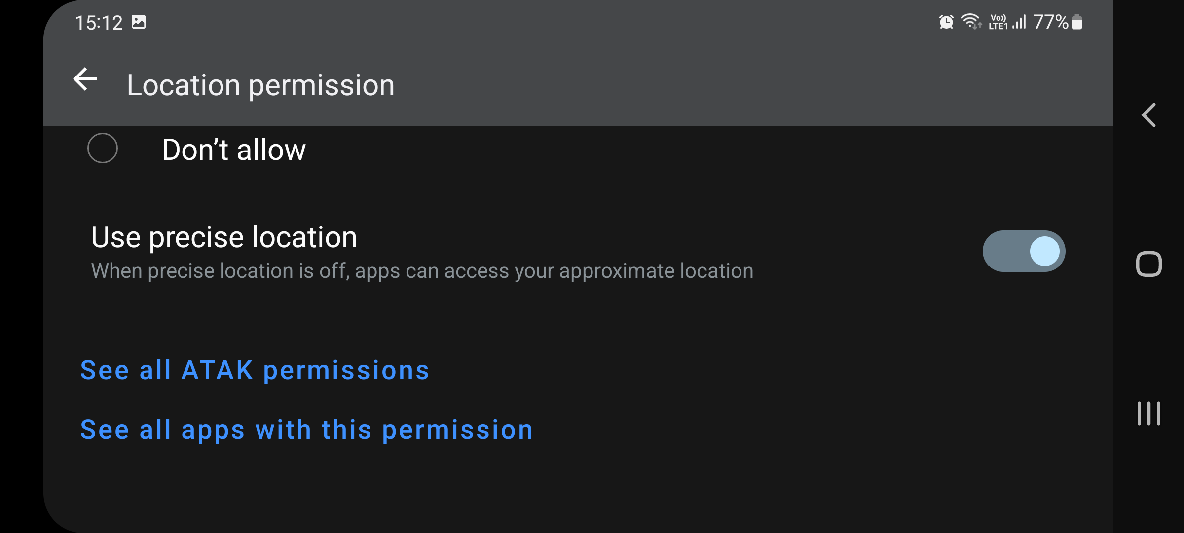
- You also have to allow ATAK to use your precise location.
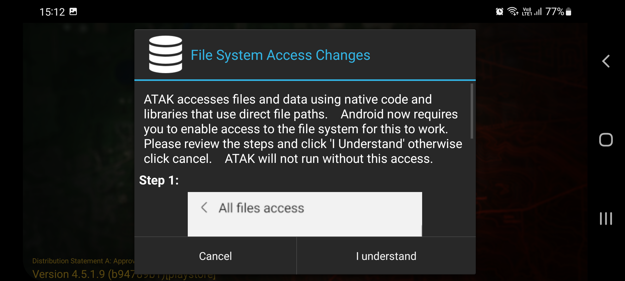
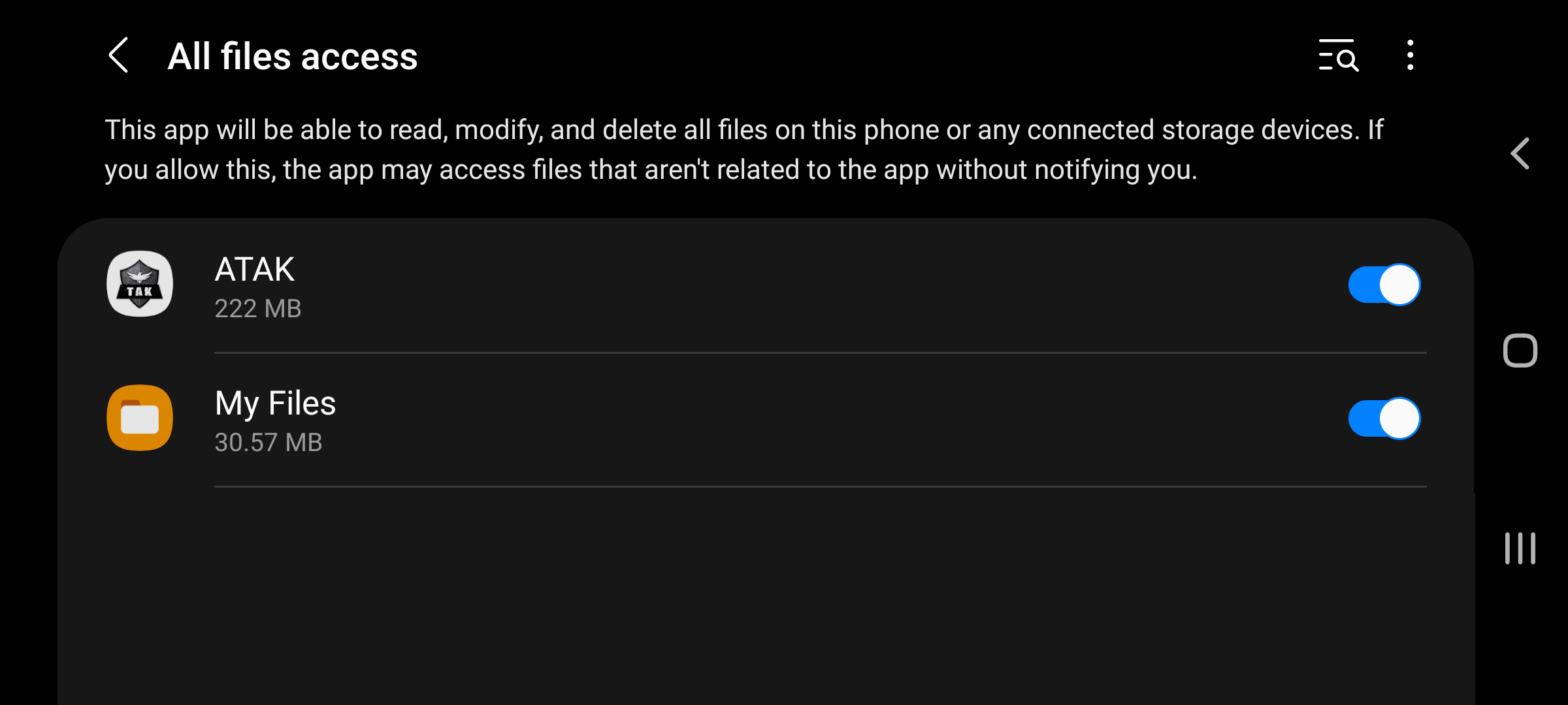
- Finally you will have to allow ATAK access to all files in Android settings.
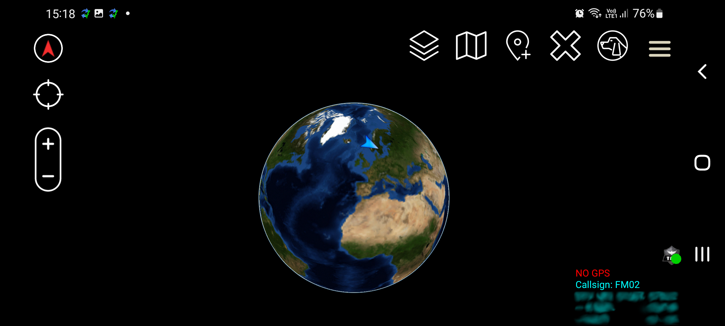
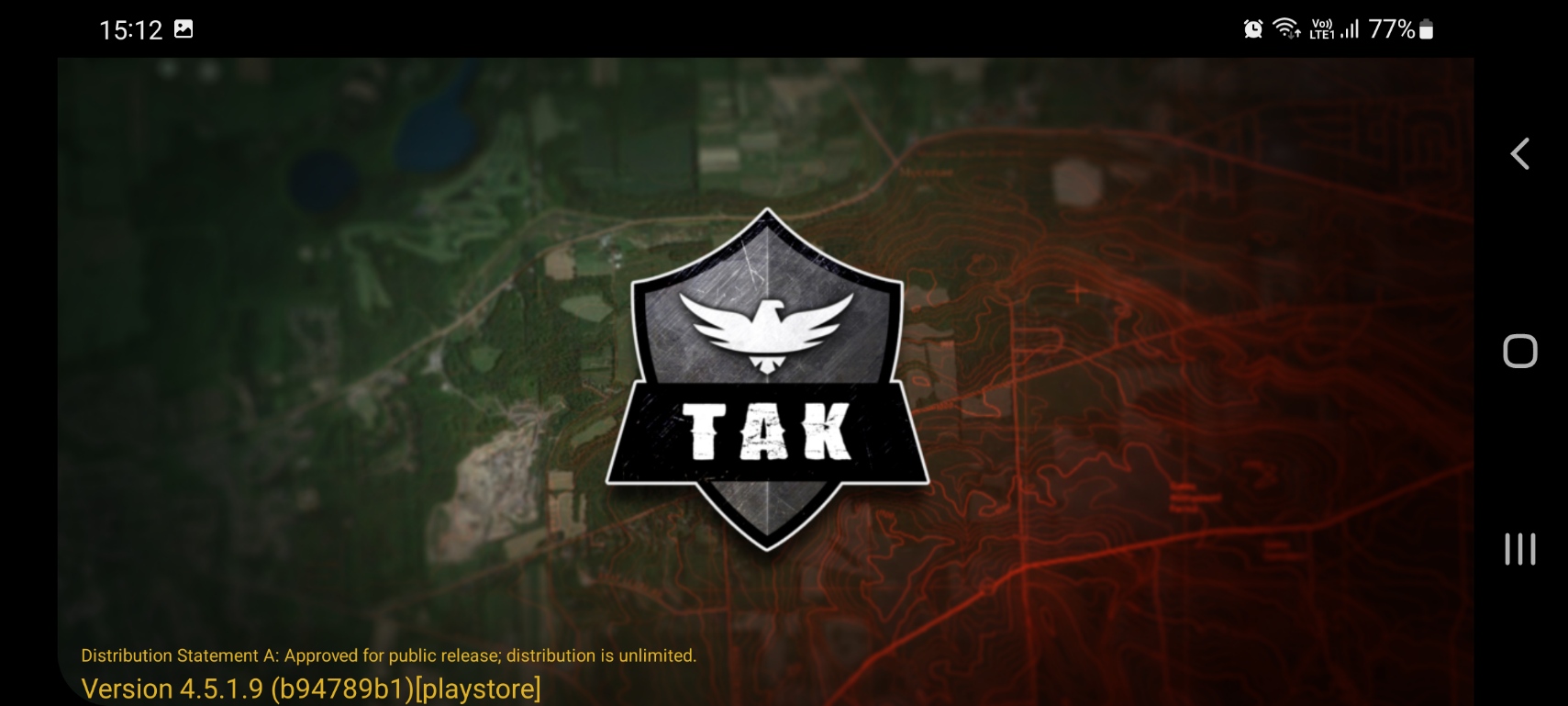
- At this point, the ATAK app will begin loading, and you’re ready to start configuring it for use with ASN-TAK.

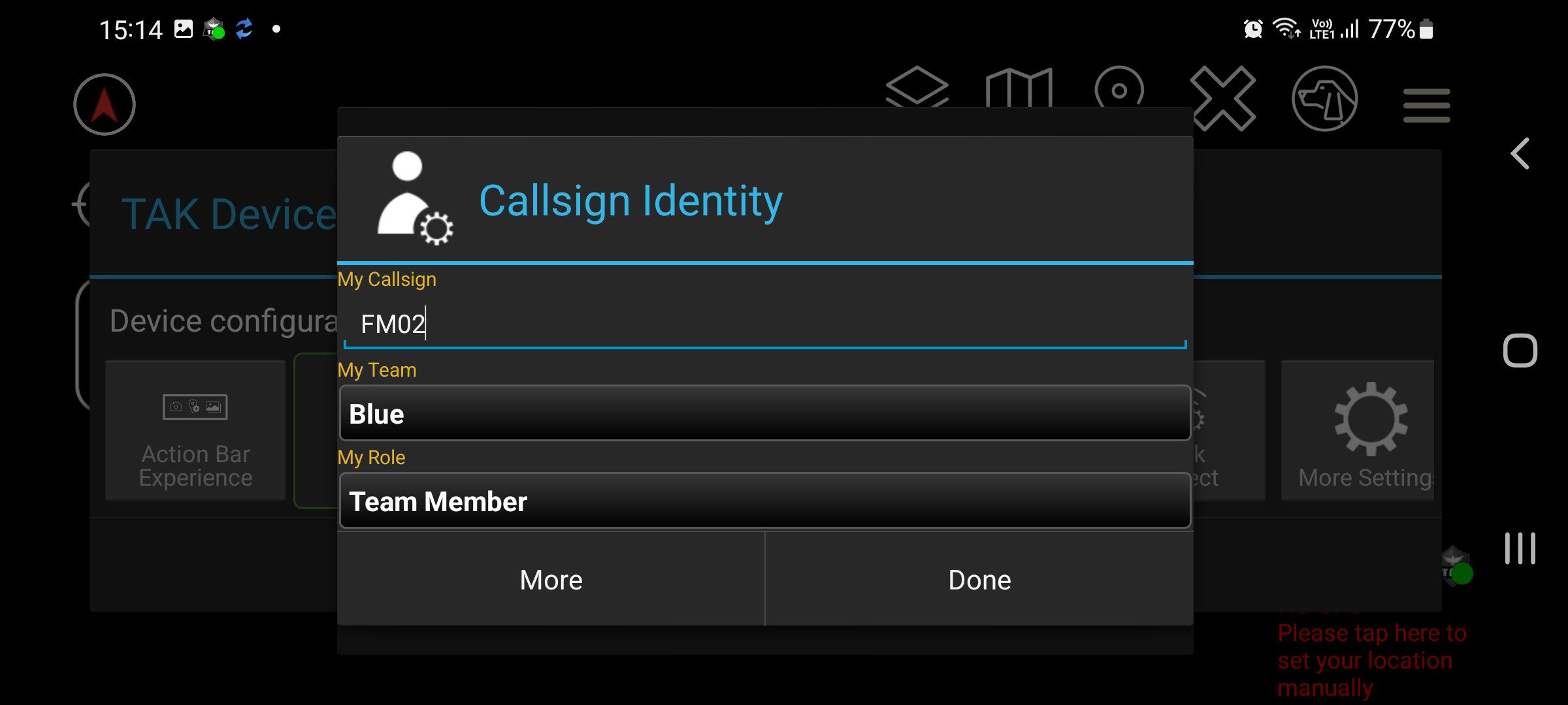
- As TAK Device Setup pops up, we start with establishing your Callsign Identity. Your callsign identity consists of your individual callsign, a team color (the display color for your map marker), and your team role. All of these can easily be changed from the Settings menu later as your needs change.
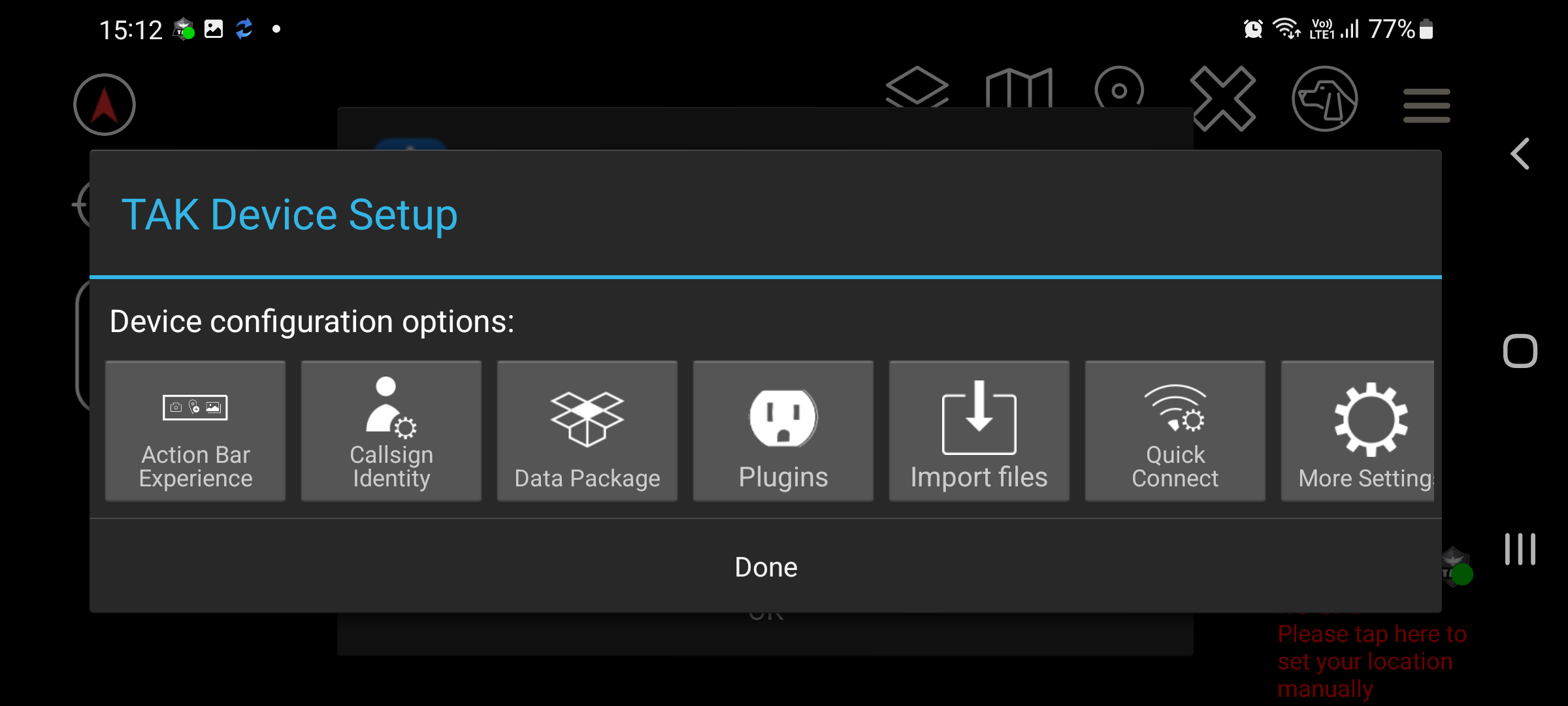
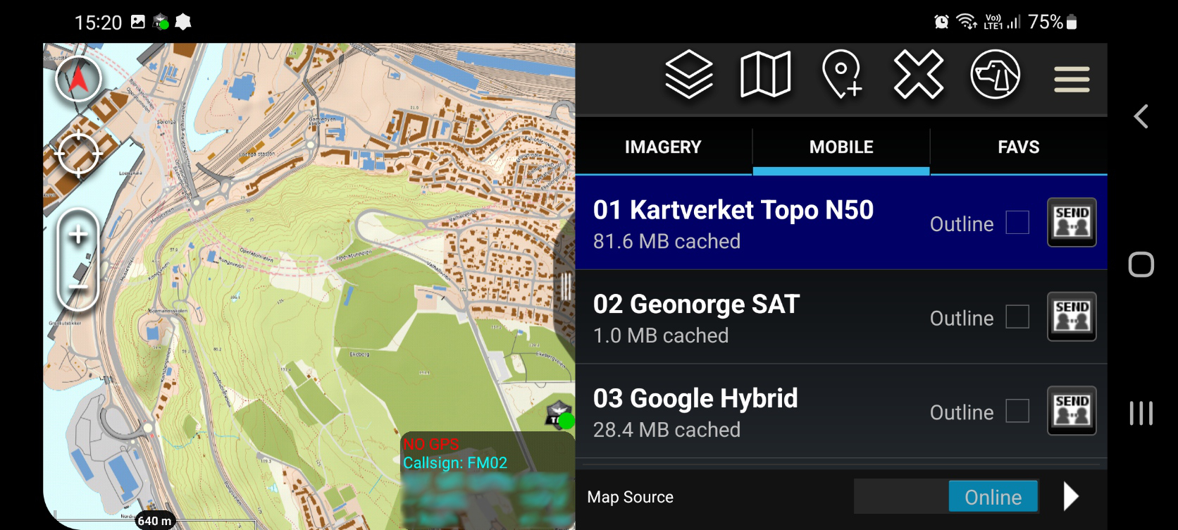
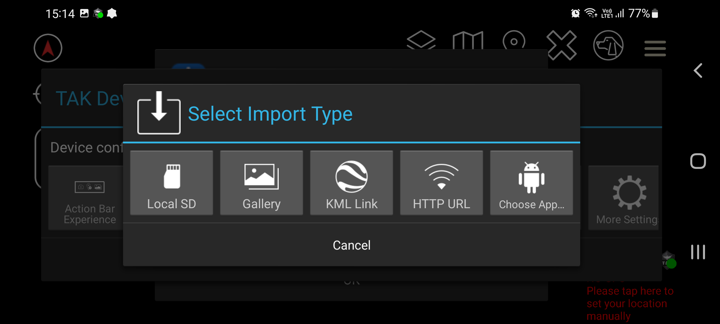
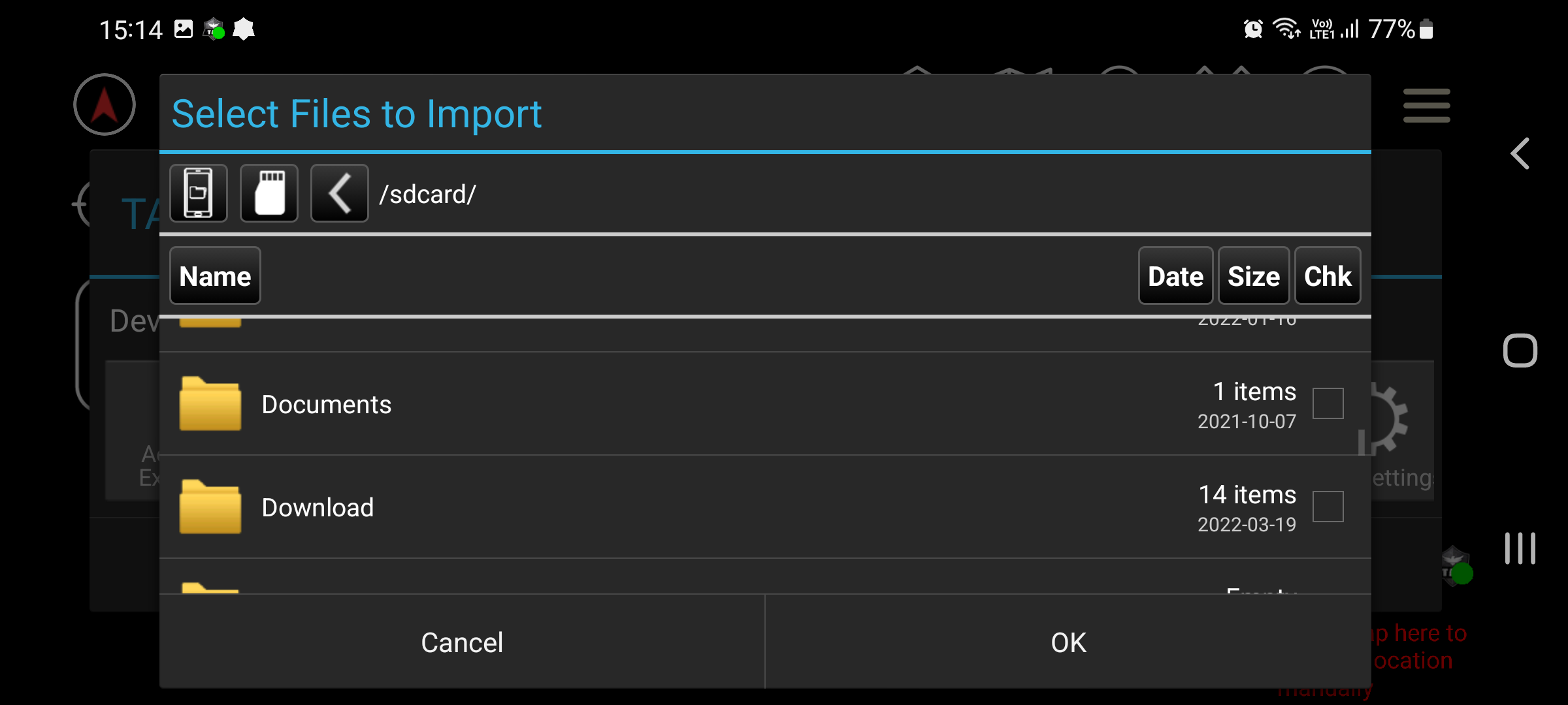
- Next, back on the TAK Device Setup menu, select the Data Package option, then *Local SD, and navigate to the folder you saved the data packages to. This is where we import the data packages you downloaded at the beginning of this guide. Adding the ASN-TAK: Configuration Package is strictly necessary at this point, but you can also add the Digital Elevation Data packages at the same time.
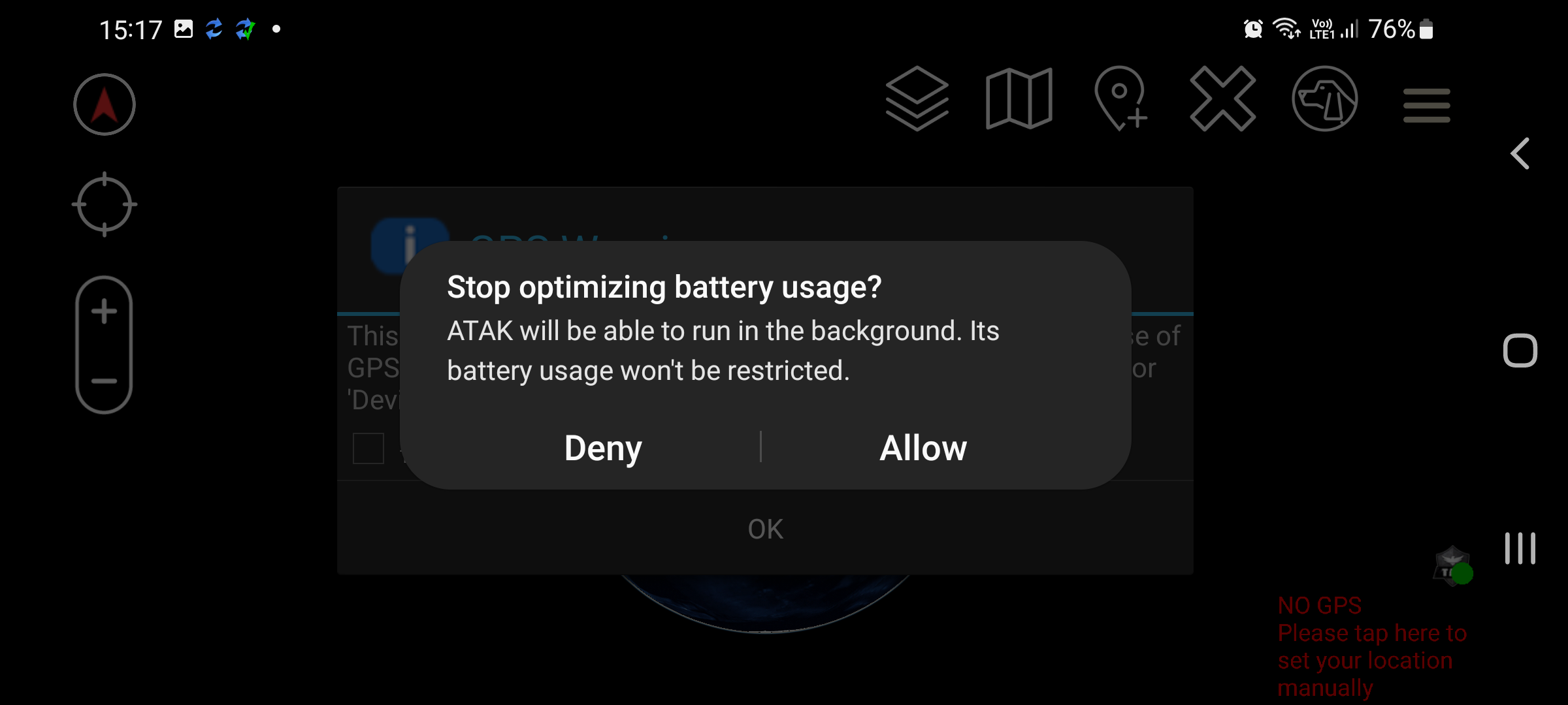
- Finally, you have to disable Android OS battery optimization for the ATAK app, to allow it to function correctly while running in the background.

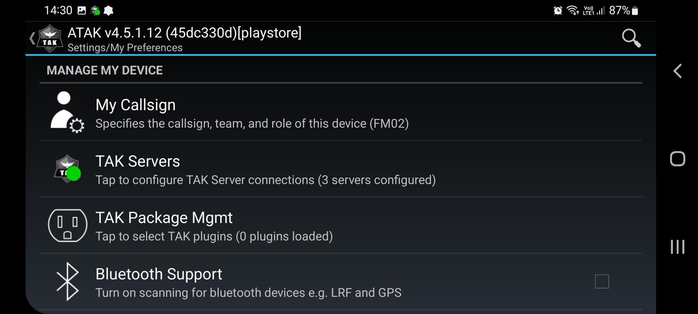
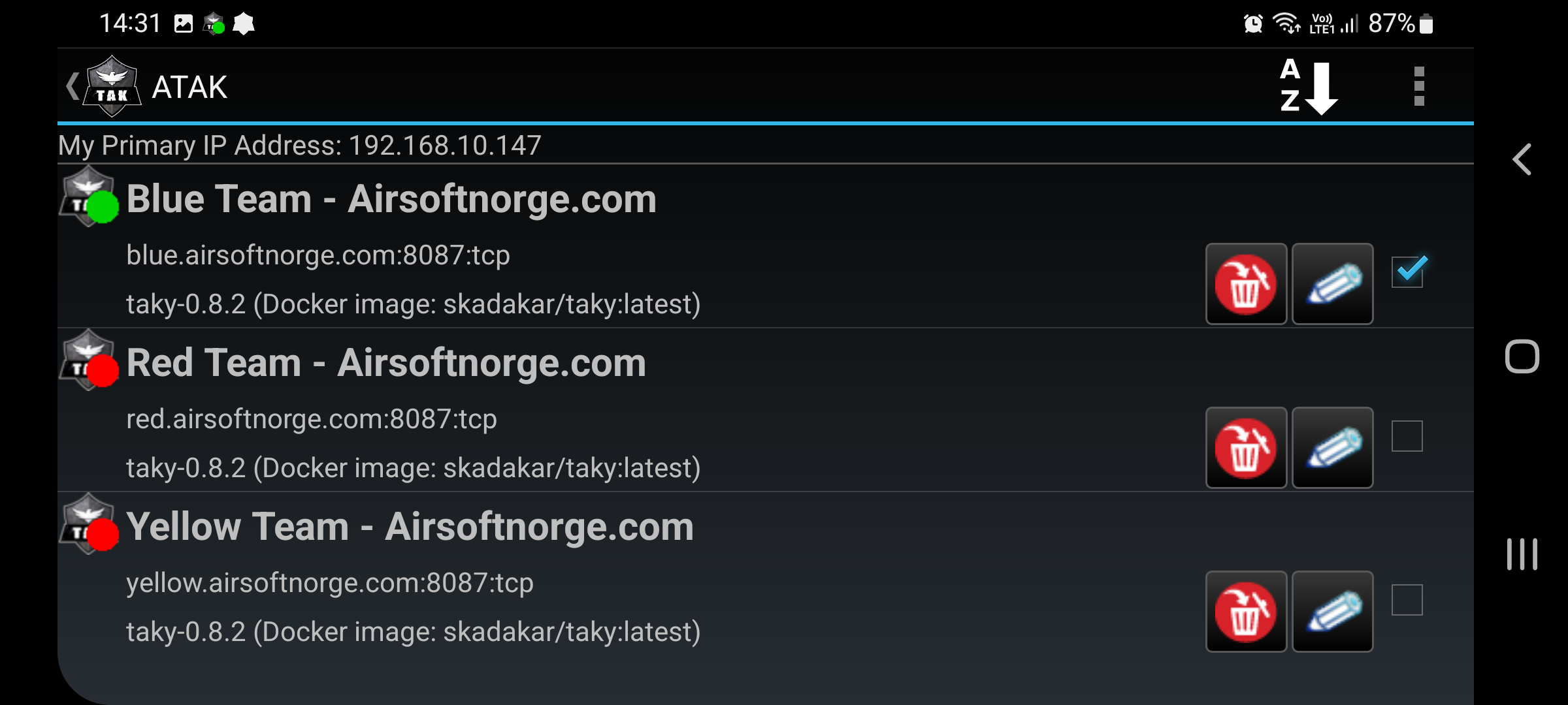
- You’ve finished the initial setup of ATAK, and can now connect to the ASN-TAK server of your choice. Press the top right toolbar icon to open the ATAK Menu, navigate to Settings. Once in the Settings Menu, select TAK Servers, and connect to the ASN-TAK server of your choice by checking the box on the right side.
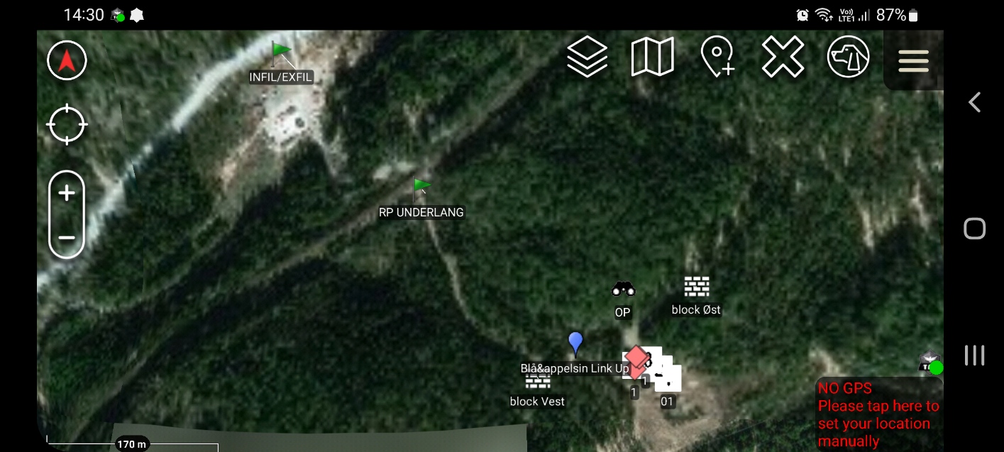

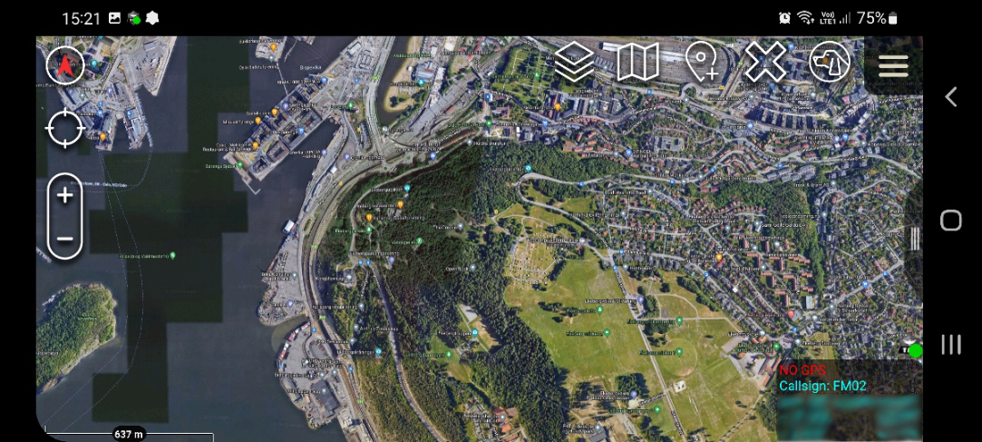
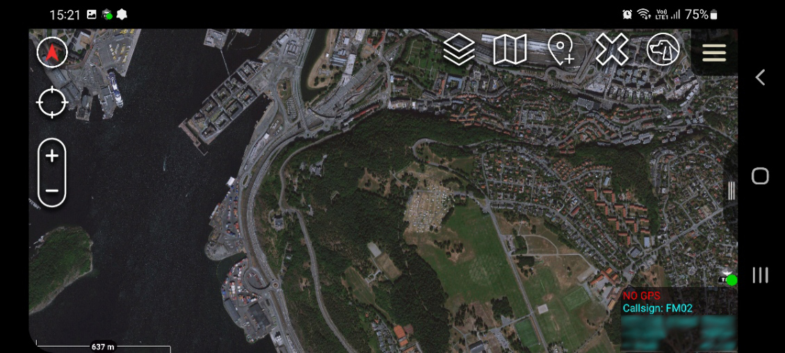
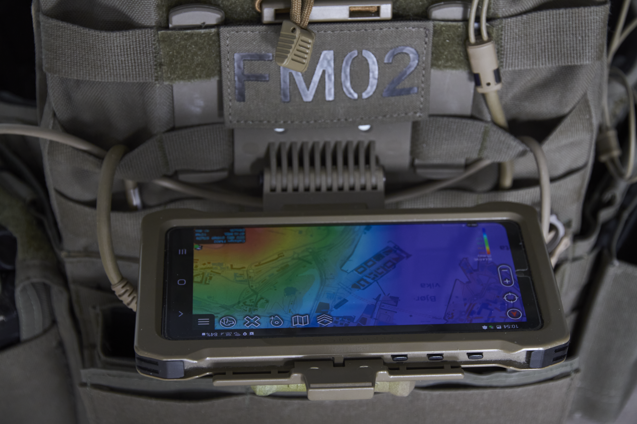
- You are now set up, connected to ASN-TAK, and can begin experimenting the features of ATAK at your leisure. Currently, the ASN-TAK Configuration Package includes several maps, including a topographical map of Norway by Kartverket, a Google Maps/Satellite Photo hybrid map, and a pure ESRI satellite map by ArcGIS. In addition to this, you can manually add other maps at any time.